The Heiau as Ancestor
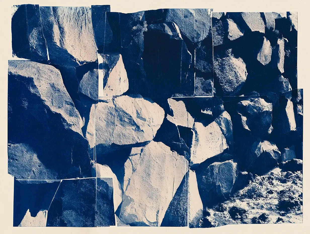
Drones map shorelines and rail systems for industry. On Kauaʻi, they're also mapping a heiau for the community that has always cared for it.
Drone technology has quietly become one of the biggest growth industries in tech. Across the Hawaiian Islands, companies like LiDAR Hawaii use drones to map shoreline erosion. The Skyline rail in Honolulu is being scanned the same way. Globally, 3D scanning was a $3.5 billion industry in 2022, on track to reach nearly $17 billion by 2035.
On Kauaʻi, community college students have been flying drones over a sacred site called Malaehaʻakoa, in Wailua. They're building a 3D model of the heiau to help inform its restoration. It's part of a paid internship run by UH's Indigenous Data Hub, in collaboration with I Ola Wailuanui.
They're learning industry-standard skills like photogrammetry, 3D modeling, and archaeological surveying by doing work that matters to their own community. The coordinator, Kamalani Chock, said the team treats the heiau as an ancestor.
The 3D models are guiding the restoration, in partnership with the community organization working to protect the site.
So: what changes when the people learning the technology are also the people the data belongs to?